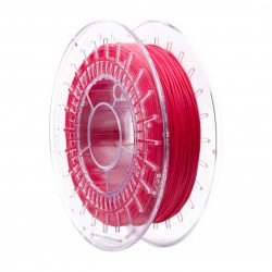


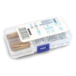


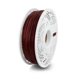


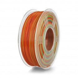

Filament set - Rosa3D Refill PLA-CF Matt Home Decor 1,75mm 4x 1kg
Index: ROS-27713
- New
- Reduced price
- Pack
- Sale
Filament set - Rosa3D Refill PLA-CF Matt Home Decor 1,75mm 4x 1kg


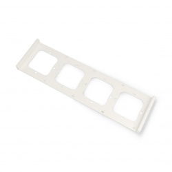
Sonoff M5-4C-80-FW - frame for wall switch M5-80 - quadruple - white
Products for which the sale has been cancelled.
See also